Matanzas River

















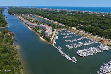
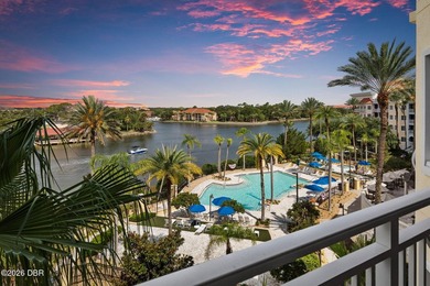



















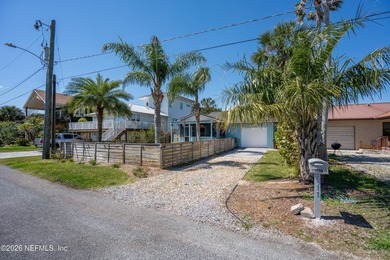
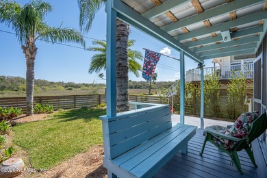
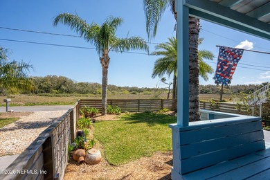
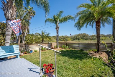

















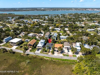
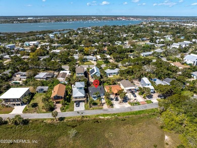
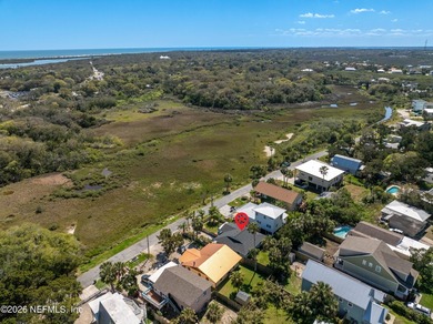
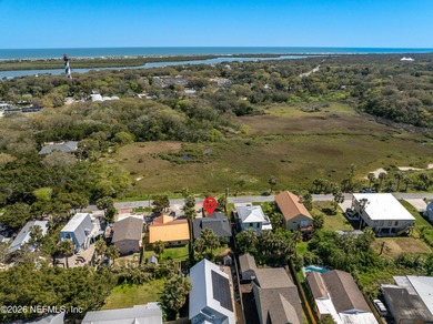
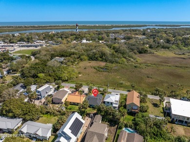
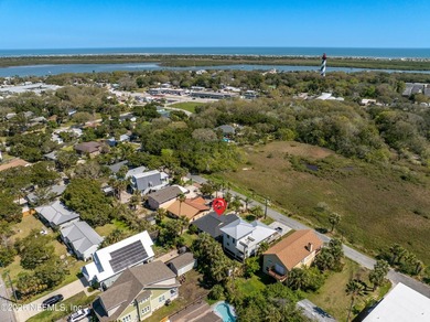




























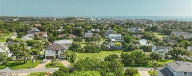
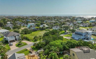
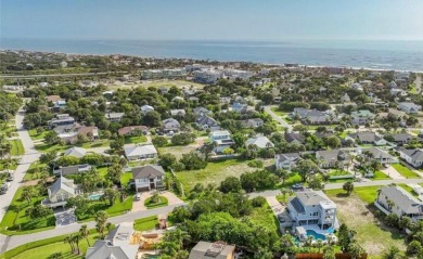
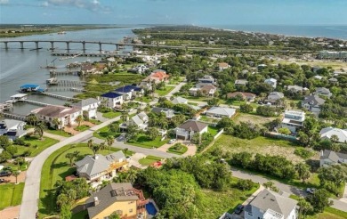









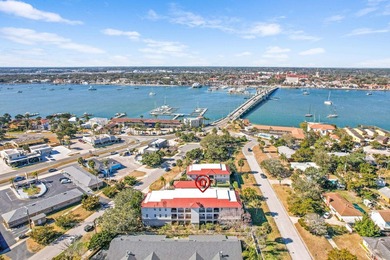
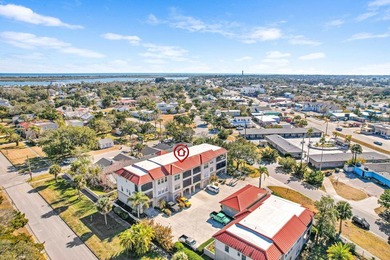


















Matanzas River Real Estate Agent Info
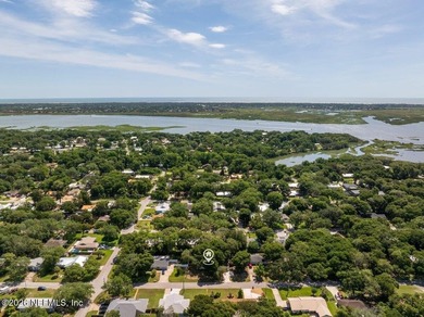
About Matanzas River
Location:
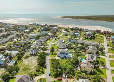
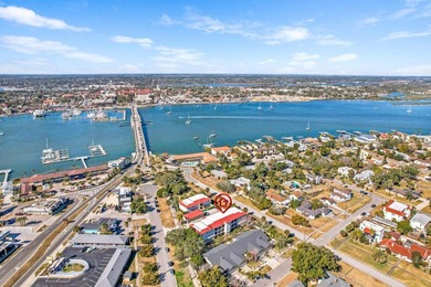
St. Johns and Flagler counties, Florida.
Sheltered from the Atlantic Ocean by Anastasia Island.
Part of the Atlantic Intracoastal Waterway.
Physical Characteristics:
Narrow, saltwater, bar-bounded estuary.
Length: 23 miles (37 km).
Extent: From St. Augustine Inlet southward to about 6.5 miles (10.5 km) south of Matanzas Inlet.
Inlets: Connects to ocean inlets at the Port of St. Augustine and Fort Matanzas National Monument.
Flow: Not unidirectional; tidally influenced by the two inlets.
Tidal Range: Up to 6 feet (1.8 m).
Historical Significance:
St. Augustine Entrance: The Matanzas River at St. Augustine was the primary entrance to the historic city, America's oldest port.
Matanzas Harbor: The area near the city's waterfront is often called Matanzas Harbor.
"Backdoor" to St. Augustine: The southern portion of the river was historically the "backdoor" to the city.
Strategic Importance: Control of the river was crucial for the early Spanish colony.
Fort Matanzas: Built in the 18th century by Spanish engineers and laborers to control access from Matanzas Inlet, located about 14 miles (23 km) south of St. Augustine.