Ad #7394380
MLS #260009483

ABOUT AN HOUR AWAY FROM BLACK ROCK (BURNING MAN SITE) Seller has
unspecified, Gerlach, Nevada, 89412
$269,000
--Beds
--Baths
--Sqft
160Acres
About this property
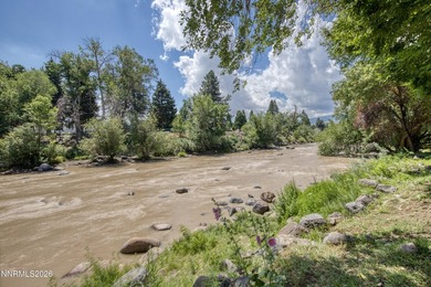
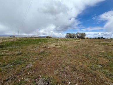
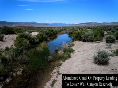
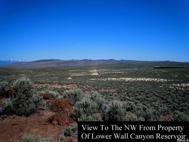
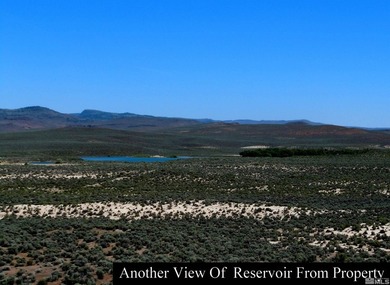
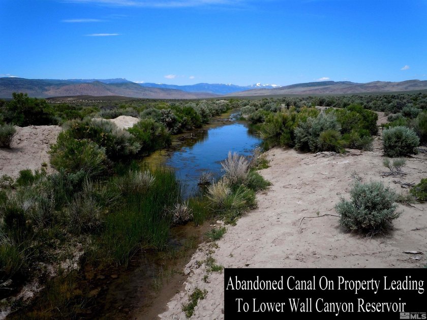
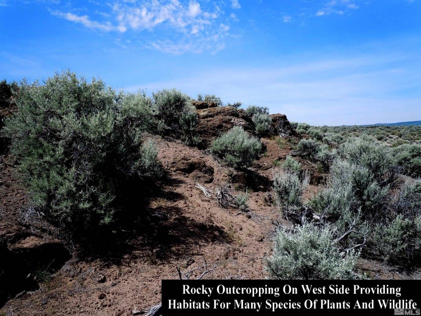
ABOUT AN HOUR AWAY FROM BLACK ROCK (BURNING MAN SITE) Seller has researched and made the following statement: 160 ACRE PATENTED LAND WASHOE COUNTY, NEVADA 100 percent MINERAL RIGHTS/CHRRY CREEK FRONT/OPALS! This patented property represents true and ultimate land ownership, supreme to that of the U.S. Government!, This ultra-rare patented 160 acre (almost seven million square foot) square-shaped homestead lot, containing what is very likely a gold mine, lies in the beautiful northwest corner of Nevada in Washoe County; a very friendly and unspoiled part of the state. It is an extremely desirable property that is completely surrounded by 20,434 acres of BLM public land so nobody can build next to you and this additional public land is at your disposal for recreational purposes! There are gorgeous views in every direction including mountain, valley, canyon and reservoir panoramas. Cherry Creek (3,207 feet of it) winds through the property, as does an abandoned canal measuring 1,616 feet that leads, to Lower Wall Canyon Reservoir. Delightful wildlife and plants wait to be admired at the creek, canal and other points of interest. There is no easement for the canal or earthen dam although a nearby landowner offered to purchase one. The deed bundle is completely intact since the day it was made patent by President Woodrow Wilson in 1914. It is the oldest patent in the vicinity meaning that this land was the first choice of the original landowner, Harry M. Barron. In addition, there is a 61 X 45 foot pond where a tributary meets the creek. There is a well near the center of this gorgeous parcel where the original homestead structure once stood that still produces water. Old wagon trails, which show up on an original 1880 survey map, crisscross this land and one of them leads directly to the mineshaft. Native American artifacts are scattered nearly everywhere. Legal Description: The North 1/2 of the Southwest 1/4 and the South 1/2 of the Northwest 1/4 of Section 15, Township 37 North, Range 19 East, Mount Diablo Base and Meridian, according to the Official Records on file in the Office of the County Recorder of said Washoe County, Nevada. Size: 160 acres (6,969,600 Square Feet) Surveyed and Staked Please note the 2016 listing/sales info provided by some of the 2nd party agencies are erroneous or inaccurate. The Washoe County Assessor or Recorders site will have more accurate information.
Property Features
0 Beds
0 Baths
0 Sqft
160 Acres
(private lake, pond, creek)
View Type: Valley, Desert
$198 / yr property tax
Washoe County
Additional Photos

Contact Information
Kautz Zinda Real Estate Group
Realty ONE Group Eminence
775-527-5799
Location

Listing Agent: Kautz Zinda Real Estate Group 775-527-5799
Broker: Realty ONE Group Eminence 775-683-3360 Listing Site
Copyright © 2026 Northern Nevada Regional MLS, Inc. All rights reserved. All information provided by the listing agent/broker is deemed reliable but is not guaranteed and should be independently verified.
Broker: Realty ONE Group Eminence 775-683-3360 Listing Site
Copyright © 2026 Northern Nevada Regional MLS, Inc. All rights reserved. All information provided by the listing agent/broker is deemed reliable but is not guaranteed and should be independently verified.
LakeHouse.com
Printed Jul 24, 2026
Photo Gallery





$269,000
--
Beds
--
Baths
--
Sqft
unspecified, Gerlach, Nevada, 89412
By contacting this agent you agree to these Terms and Conditions.
MLS# 260009483
ABOUT AN HOUR AWAY FROM BLACK ROCK (BURNING MAN SITE) Seller has
$269,000
unspecified, Gerlach, Nevada, 89412
--
Beds
--
Baths
--
Sqft
160
Acres
$269,000
unspecified, Gerlach, Nevada, 89412
-- Beds
-- Baths
-- Sqft
160 Acres
ABOUT AN HOUR AWAY FROM BLACK ROCK (BURNING MAN SITE) Seller has researched and made the following statement: 160 ACRE PATENTED LAND WASHOE COUNTY, NEVADA 100 percent MINERAL RIGHTS/CHRRY CREEK FRONT/OPALS! This patented property represents true and ultimate land ownership, supreme to that of the U.S. Government!, This ultra-rare patented 160 acre (almost seven million square foot) square-shaped homestead lot, containing what is very likely a gold mine, lies in the beautiful northwest corner of Nevada in Washoe County; a very friendly and unspoiled part of the state. It is an extremely desirable property that is completely surrounded by 20,434 acres of BLM public land so nobody can build next to you and this additional public land is at your disposal for recreational purposes! There are gorgeous views in every direction including mountain, valley, canyon and reservoir panoramas. Cherry Creek (3,207 feet of it) winds through the property, as does an abandoned canal measuring 1,616 feet that leads, to Lower Wall Canyon Reservoir. Delightful wildlife and plants wait to be admired at the creek, canal and other points of interest. There is no easement for the canal or earthen dam although a nearby landowner offered to purchase one. The deed bundle is completely intact since the day it was made patent by President Woodrow Wilson in 1914. It is the oldest patent in the vicinity meaning that this land was the first choice of the original landowner, Harry M. Barron. In addition, there is a 61 X 45 foot pond where a tributary meets the creek. There is a well near the center of this gorgeous parcel where the original homestead structure once stood that still produces water. Old wagon trails, which show up on an original 1880 survey map, crisscross this land and one of them leads directly to the mineshaft. Native American artifacts are scattered nearly everywhere. Legal Description: The North 1/2 of the Southwest 1/4 and the South 1/2 of the Northwest 1/4 of Section 15, Township 37 North, Range 19 East, Mount Diablo Base and Meridian, according to the Official Records on file in the Office of the County Recorder of said Washoe County, Nevada. Size: 160 acres (6,969,600 Square Feet) Surveyed and Staked Please note the 2016 listing/sales info provided by some of the 2nd party agencies are erroneous or inaccurate. The Washoe County Assessor or Recorders site will have more accurate information.
0 days
on LakeHouse.com
3
views
0
saves
Property Details
HOME DETAILS
0 Beds
0 Baths
0 Sqft
160 Acres
WATER & VIEW
(private lake, pond, creek)
View Type: Valley, Desert
FINANCIAL & COMMUNITY
$198 / yr property tax
Washoe County
See More Details
Location
Mortgage Calculator
Ad Statistics
Ad Number
7394380
Viewed
3 times
Listing Status
Active
Added
Jul 23, 2026
Last Refresh
Jul 24, 2026 07:48:32 AM
Listing Information
Data Source
Northern Nevada Regional MLS, Inc.
Source Property ID
260009483
Listing Agent: Kautz Zinda Real Estate Group 775-527-5799
Broker: Realty ONE Group Eminence 775-683-3360 Listing Site
Copyright © 2026 Northern Nevada Regional MLS, Inc. All rights reserved. All information provided by the listing agent/broker is deemed reliable but is not guaranteed and should be independently verified.
Broker: Realty ONE Group Eminence 775-683-3360 Listing Site
Copyright © 2026 Northern Nevada Regional MLS, Inc. All rights reserved. All information provided by the listing agent/broker is deemed reliable but is not guaranteed and should be independently verified.
Request Information
Start advertising today
Explore options for real estate agents and homeowners advertising on LakeHouse.com
Sell Your Home
Explore Similar Properties